Mia Walter · 12 October 2026
Polish High Schools Forge International Alliances to Deploy AI Mapping for Filling Environmental Data Voids
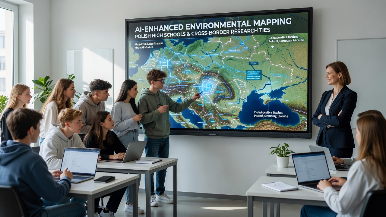
Secondary schools across Poland have expanded their curricula to incorporate AI-enhanced geographic information systems, allowing students to contribute real-time environmental data that addresses longstanding gaps in regional monitoring networks. These initiatives gained momentum through partnerships with institutions in neighboring countries, where shared datasets help track variables such as air quality fluctuations, river sediment changes, and forest cover alterations that single-nation efforts often overlook. In October 2026 several pilot programs will synchronize data streams from schools in the Carpathian region wth counterparts in Slovakia and Ukraine, creating unified maps that reveal pollution migration patterns across borders. Researchers from the Polish Ministry of Education note that traditional environmental surveys leave significant blind spots in rural and mountainous zones, where sensor density remains low. High school teams equipped with mobile AI applications now process satellite imagery alongside ground-level observations, producing layered maps that highlight discrepancies between official records and on-site measurements. One project in the Lower Silesian Voivodeship combined student-collected soil samples with machine learning algorithms to predict erosion risks along the Odra River basin, yielding datasets later adopted by regional water management authorities.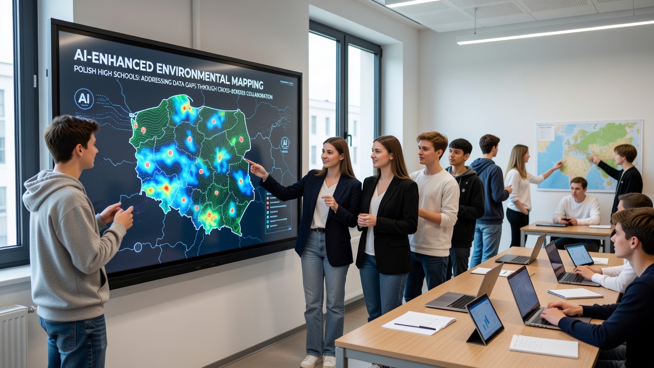
Secondary schools across Poland have expanded their curricula to incorporate AI-enhanced geographic information systems, allowing students to contribute real-time environmental data that addresses longstanding gaps in regional monitoring networks. These initiatives gained momentum through partnerships with institutions in neighboring countries, where shared datasets help track variables such as air quality fluctuations, river sediment changes, and forest cover alterations that single-nation efforts often overlook. In October 2026 several pilot programs will synchronize data streams from schools in the Carpathian region wth counterparts in Slovakia and Ukraine, creating unified maps that reveal pollution migration patterns across borders. Researchers from the Polish Ministry of Education note that traditional environmental surveys leave significant blind spots in rural and mountainous zones, where sensor density remains low. High school teams equipped with mobile AI applications now process satellite imagery alongside ground-level observations, producing layered maps that highlight discrepancies between official records and on-site measurements. One project in the Lower Silesian Voivodeship combined student-collected soil samples with machine learning algorithms to predict erosion risks along the Odra River basin, yielding datasets later adopted by regional water management authorities.Technical Foundations of the Mapping Programs
The AI tools deployed in these schools rely on open-source platforms that integrate convolutional neural networks for image classification with geographic databases maintained by the European Environment Agency. Students learn to train models on historical climate records while validating outputs against fresh field data gathered during cross-border expeditions. This approach reduces processing times for large raster files from days to hours, enabling weekly updates instead of seasonal reports that previously delayed policy responses. Training modules developed in collaboration with technical universities emphasize ethical data handling and bias detection in environmental algorithms. Participants practice identifying how incomplete training sets can skew results for underrepresented ecosystems, such as wetlands along the Baltic coast. By October 2026, the curriculum will include joint virtual labs with schools in Germany and the Czech Republic, where teams exchange annotated datasets to improve model accuracy across varying terrain types.Partnership Structures and Data Sharing Protocols
Agreements between Polish secondary institutions and foreign research centers establish standardized formats for data exchange, ensuring compatibility with international repositories maintained by bodies such as the United Nations Environment Programme. These protocols specify metadata requirements that include timestamps, geolocation precision, and uncertainty estimates, allowing seamless integration into broader European monitoring frameworks. Schools in the Podkarpackie region have already contributed verified datasets on particulate matter concentrations that filled voids in models used by the EEA for transboundary air pollution assessments. Joint workshops rotate among participating countries, giving students direct exposure to diverse measurement techniques and regulatory contexts. A recent session in Kraków focused on calibrating drone-mounted sensors for canopy density analysis, with results cross-checked against ground truth collected simultaneously in partner sites. Such activities strengthen the reliability of AI outputs while building student proficiency in handling equipment under field conditions.