Riley Beck · 14 September 2026
Mapping the Future: Polish Educational Initiatives Build Expertise for Environmental Data Challenges
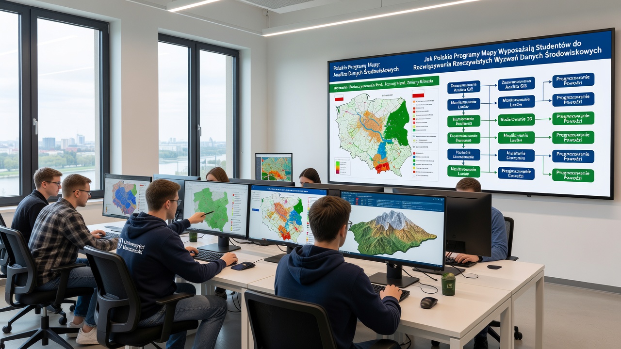
Polish universities and technical institutes have developed mapping programs that integrate geographic information systems with environmental science curricula, and these efforts equip students with tools to handle complex data from climate monitoring, land use analysis, and biodiversity tracking. Programs at institutions across the country emphasize hands-on projects where participants process satellite imagery and field measurements, which prepares them for roles in government agencies and research organizations dealing with real environmental pressures.
Core Components of Polish Mapping Curricula
Courses combine theoretical foundations in cartography and remote sensing with practical software training in platforms like QGIS and ArcGIS, while students learn to manage datasets from sources including teh European Space Agency's Copernicus program and national environmental databases. Instructors incorporate modules on data validation techniques that address inconsistencies in sensor readings and historical records, and this approach helps learners build reliable models for predicting changes in forest cover or urban expansion patterns.
Research indicates that Polish students completing these programs often participate in cross-border collaborations, such as those coordinated through the EU's environmental monitoring networks, where they apply skills to joint projects on air quality mapping and water resource assessment. Data from the Polish Ministry of Climate and Environment shows increased enrollment in these specialized tracks since 2022, reflecting growing demand for graduates who can interpret spatial data in policy contexts.
Practical Applications in Environmental Scenarios
Students engage with case studies involving flood risk mapping along major river basins, and they use multi-temporal satellite data to identify erosion hotspots that require intervention. These exercises mirror challenges faced by agencies like the US Environmental Protection Agency and Australia's Commonwealth Scientific and Industrial Research Organisation, which publish reports on similar geospatial methodologies for disaster preparedness. One project in 2024 involved mapping post-industrial sites in Silesia, where participants integrated soil contamination readings with land cover classifications to support remediation planning.
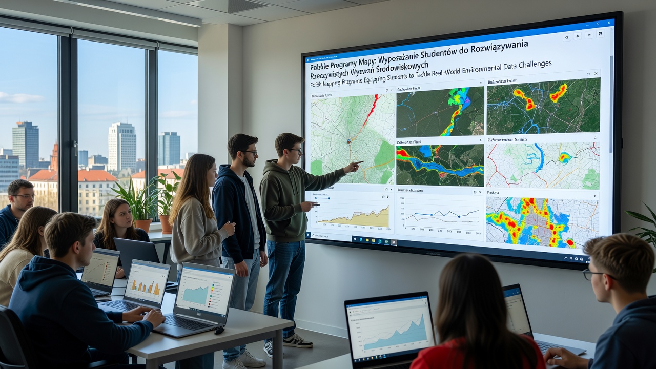
September 2026 marks teh rollout of updated modules in several programs that incorporate machine learning applications for automated feature extraction from drone imagery, and this addition aligns with advancements reported by the European Environment Agency in its annual land monitoring updates. Participants practice cleaning noisy datasets from citizen science contributions, then generate visualizations that communicate findings to non-technical stakeholders such as local municipalities and conservation groups.
Skill Development Through Real Data Integration
Training emphasizes statistical analysis alongside spatial tools, so students calculate uncertainty margins in climate projection models and compare outputs against ground-truth observations collected during fieldwork. Observers note that graduates frequently secure positions in international research teams because their portfolios demonstrate proficiency in handling heterogeneous data formats from multiple sensors and time periods. Canadian studies on geospatial education, for instance, highlight similar curriculum structures that produce analysts capable of contributing to global carbon accounting efforts.
Programs also address ethical considerations in data sharing, teaching protocols for anonymizing location-specific information while maintaining analytical value. This prepares participants for work environments where privacy regulations intersect with open data initiatives promoted by organizations like the United Nations Environment Programme. Evidence from academic evaluations suggests that project-based assessments, rather than traditional exams, better measure the ability to troubleshoot data gaps that arise in actual monitoring campaigns.
Conclusion
Polish mapping programs continue to evolve by incorporating emerging technologies and international datasets, which sustains their role in developing professionals ready for environmental data challenges. Ongoing partnerships with European and global agencies ensure that curricula reflect current practices in spatial analysis and modeling.