Mia Walter · 26 October 2026
Innovative Mapping Technologies Expand Career Paths for Polish Environmental Studies Students
Advanced mapping modules integrate geographic information systems with remote sensing data to support environmental analysis across Polish educational institutions and these tools connect students directly to real-world applications in climate monitoring, habitat assessment, and resource management while researchers note that curricula updates in secondary schools and universities have accelerated since 2024. Data from the European Environment Agency shows that Poland reported a 15 percent increase in environmental science enrollments between 2023 and 2025 and programs now emphasize hands-on modules that teach spatial modeling alongside traditional field methods.
Core Components of Modern Mapping Education
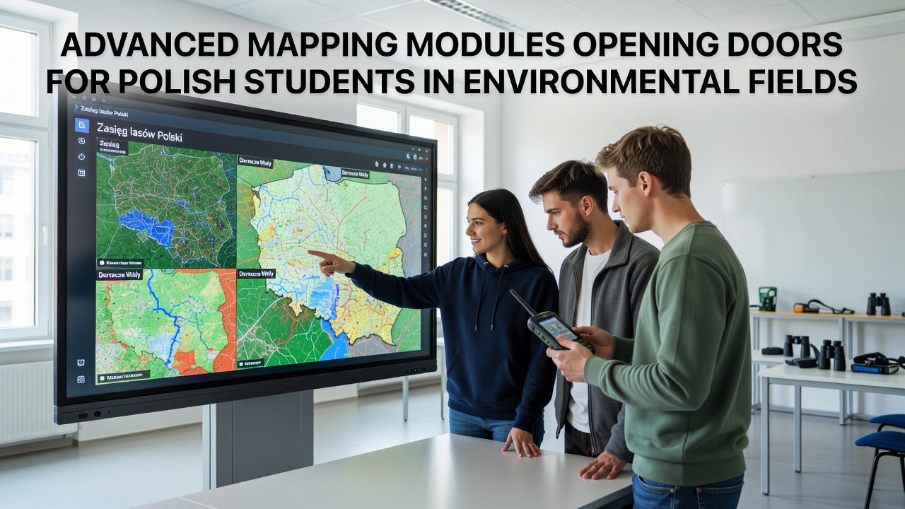
Students encounter layered datasets that combine satellite imagery with ground-level sensors and this approach allows them to track changes in forest cover or urban expansion over time whereas earlier methods relied on static maps that quickly became outdated. Polish institutions have incorporated open-source platforms such as QGIS and proprietary systems like ArcGIS into required coursework and faculty members report that participants complete projects analyzing local river basins or protected areas by October 2026 according to institutional calendars released in early 2025. Training sequences progress from basic coordinate systems to advanced predictive modeling so learners build skills that align with employer demands in government agencies and private consultancies.
Cross-Border Collaborations Strengthen Practical Skills
Joint initiatives with universities in Germany and the Netherlands expose Polish participants to standardized European datasets and these partnerships facilitate shared research on transboundary pollution patterns while students apply machine learning algorithms to classify land-use categories with greater accuracy. A 2025 report from the Joint Research Centre of the European Commission documented that collaborative mapping projects improved data resolution in Central European regions by integrating multi-temporal imagery and Polish teams contributed field validation points that refined overall model performance. Observers note that such exchanges also introduce participants to regulatory frameworks like the EU Green Deal which require precise spatial evidence for compliance reporting.
Employment Outcomes and Industry Demand
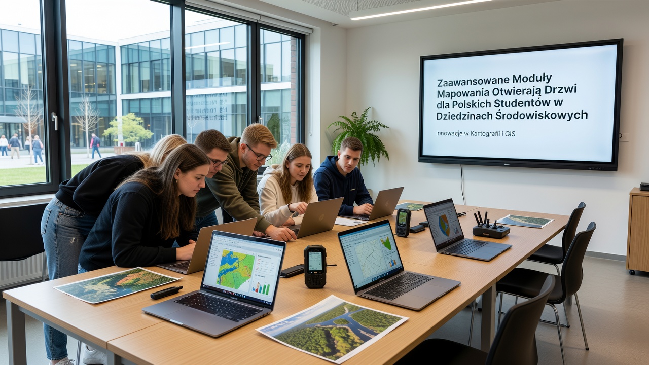
Graduates equipped with these competencies find positions in environmental impact assessment firms and national park administrations because employers seek individuals who can generate actionable visualizations from complex datasets and figures from the Polish Ministry of Climate adn Environment indicate that job postings requiring GIS proficiency rose 22 percent from 2024 to 2025. One case involved students from Warsaw universities who mapped wetland restoration sites for a regional authority and their outputs informed funding allocations under the EU LIFE program. Those who studied this field often discover that certification in remote sensing techniques adds measurable value during recruitment processes across both public and private sectors.
Emerging Trends in Curriculum Design
Educators now blend artificial intelligence with traditional cartographic principles so modules address automated feature extraction from drone footage and this integration reduces manual processing time while maintaining verification standards. Research published by the University of Melbourne's Centre for Spatial Data Infrastructure in 2025 highlighted similar approaches in Australia and noted transferability to European contexts where Poland's varied terrain provides ideal testing grounds for algorithm robustness. Participants engage with real-time data feeds from Copernicus satellites and they produce reports that support biodiversity monitoring efforts coordinated through the European Environment Agency.
Conclusion
Mapping modules continue to align Polish environmental education with international standards and evidence from multiple agencies confirms that graduates enter a job market that values spatial analysis capabilities. Continued investment in equipment and instructor development sustains this trajectory and institutions schedule further curriculum refinements ahead of the 2026 academic year.