Yves Simon · 28 September 2026
European Academic Partnerships Advance AI Climate Mapping Curricula in Polish Secondary Schools
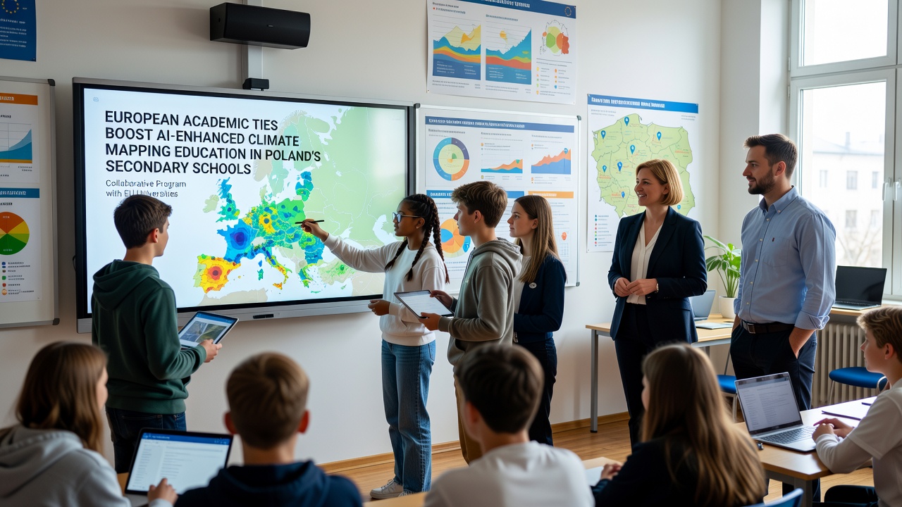
European academic partnerships have strengthened AI-enhanced climate mapping education across Poland's secondary schools through coordinated programs that connect Polish institutions with universities in Germany, France, and the Netherlands. These collaborations supply curriculum frameworks, data access protocols, and training modules that integrate artificial intelligence with geographic information systems for analyzing climate patterns, and they build on existing environmental science courses already offered in Polish high schools.
Current Landscape of Climate Education in Poland
Polish secondary schools have incorporated climate topics into geography and biology classes since the early 2010s, yet recent initiatives emphasize computational methods that allow students to process satellite imagery and model future scenarios. Data from the Polish Ministry of Education shows that over 1,200 schools now include dedicated modules on environmental data analysis, and enrollment in these elective courses rose 34 percent between 2022 and 2025. Partnerships with European counterparts provide access to shared datasets from the Copernicus Climate Change Service, which students use to examine regional temperature shifts and precipitation trends across the Carpathian region.
Role of Cross-Border Academic Networks
Universities in Warsaw, Kraków, and Gdańsk have established formal agreements with counterparts in Heidelberg, Lyon, and Utrecht that facilitate faculty exchanges and joint development of teaching materials. These agreements, signed between 2023 and 2025, specify annual workshops where Polish educators learn to adapt AI algorithms for classroom use, and they include provisions for translating technical documentation into Polish. Observers note that such networks reduce duplication of effort because participating institutions share validation protocols for student-generated climate maps, which ensures consistency when comparing outputs from different regions.
One project coordinated by the European University Association delivered training to 180 Polish teachers in 2024, covering machine learning techniques for classifying land-use changes from open satellite archives. Teachers who completed the sessions reported integrating these methods into existing lesson plans within one academic term, and follow-up surveys indicated that student projects subsequently incorporated predictive modeling for local flood risk assessment.
AI Tools and Curriculum Integration
Secondary school curricula now feature software platforms that combine open-source machine learning libraries with climate data repositories, allowing students to train models that identify vegetation stress indicators or urban heat island effects. These tools operate on standard school computers because developers optimized them for lower processing demands, and instructional guides include step-by-step exercises that align with Poland's national core curriculum requirements for informatics and geography. Researchers at the University of Warsaw documented that classes using these integrated modules completed mapping assignments 40 percent faster than those relying on traditional spreadsheet methods alone.
Implementation Timeline and September 2026 Milestones
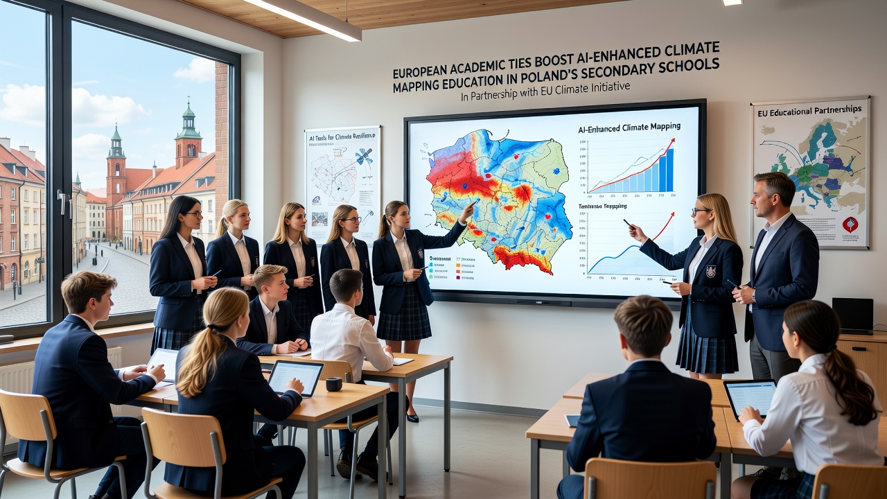
Rollout phases began in the 2024-2025 school year with pilot programs in 45 schools across three voivodeships, and results from those pilots informed adjustments to lesson sequencing and assessment rubrics. Expansion continues through 2026, with national coverage targeted for the start of the 2026-2027 academic year. In September 2026, participating schools will introduce updated modules that incorporate real-time data feeds from new European satellite constellations, and teacher training events scheduled for that month will focus on interpreting outputs from ensemble climate models. The Polish National Agency for Academic Exchange has allocated funding to support equipment upgrades in 300 additional schools ahead of that deadline.
Student Outcomes and Assessment Data
Evaluation reports compiled by the Institute of Educational Research in Warsaw indicate measurable gains in student performance on standardized tasks involving spatial data interpretation. Students in partnership schools scored an average of 18 points higher on practical mapping exercises than peers in non-participating schools during the 2025 national assessment cycle. These differences appear across demographic groups, and program coordinators attribute the results to consistent exposure to AI-assisted visualization techniques rather than to differences in prior academic achievement. External evaluators from the European Commission's education programs reviewed a sample of student projects and confirmed that outputs met technical standards comparable to introductory university coursework.
Challenges and Ongoing Adjustments
Schools in rural districts continue to face bandwidth limitations that affect access to cloud-based AI platforms, prompting developers to create offline versions of core tools that sync when connectivity returns. Language barriers occasionally slow the adoption of English-language documentation, although translated resources now cover 85 percent of the core materials. Program managers address these issues through quarterly review meetings that incorporate feedback from classroom practitioners, and they adjust deployment schedules accordingly.
Conclusion
European academic partnerships have supplied Polish secondary schools with structured pathways for embedding AI-enhanced climate mapping into existing subjects, and scheduled expansions in September 2026 will extend these resources to more institutions. Continued data collection from participating classrooms will guide further refinements while maintaining alignment with national education standards and European climate research priorities.